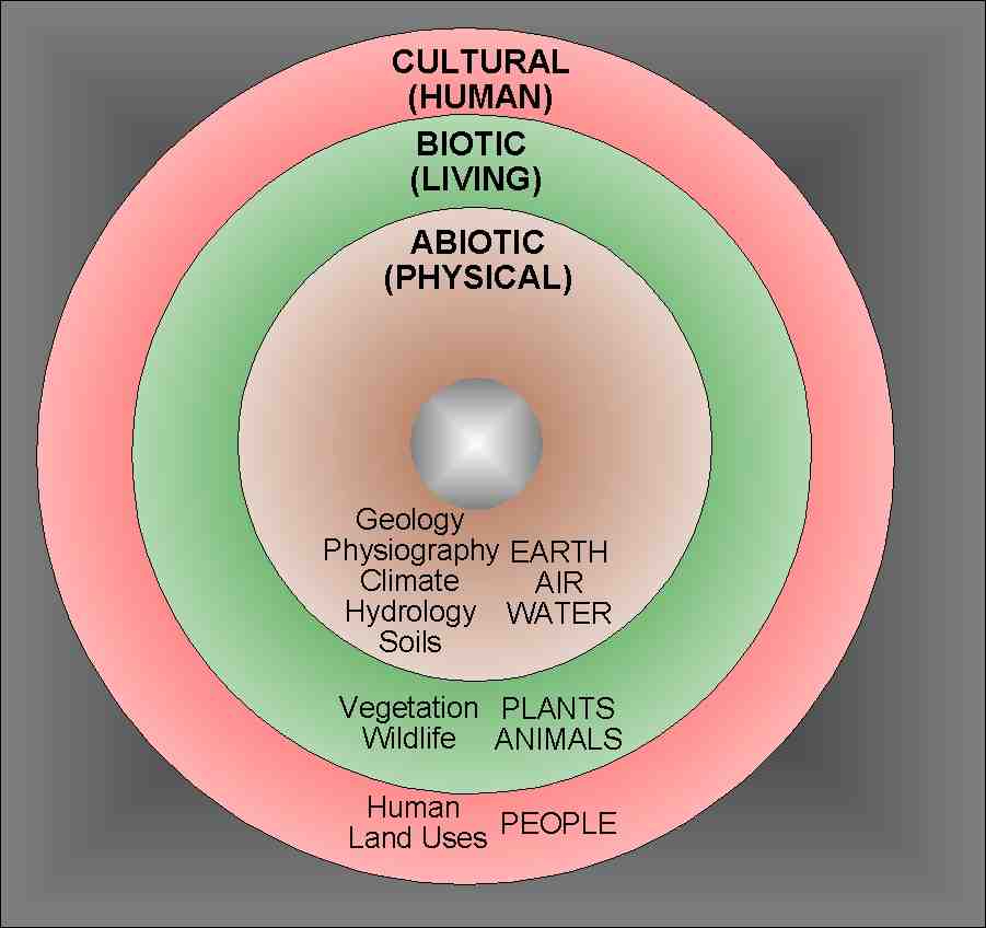
Natural Resource Atlases are inventories of geographic data for a specific region that are compiled in a geographic information system. Data and maps can then be distributed to the public on portable media or through the internet. Physical, biological, and cultural data are organized using a holistic model developed by the ecological planner and landscape architect Ian McHarg in Design with Nature.
 Holistic natural resource inventory
Compilation of natural resource data is the first essential step towards the development of a land use plan.
Petr Cizek helped compile the very first digital atlas on CD-ROM in the Northwest Territories with 21 layers of natural resource data for the Dehcho First Nations. This atlas was then updated to Version 2 by the Dehcho Land Use Planning Committee.
Canadian Parks and Wilderness Society (CPAWS) later commissioned a similar atlas for the South Nahanni watershed. The World Wildlife Fund (WWF) also commissioned an atlas on 3 CD-ROMs for the entire Northwest Territories.
Dr. Cizek has also advised the Mikisew Cree First Nation in Fort Chipewyan, Alberta about natural resource inventory leading towards the development of a land use plan.

